Up to 18 inches and a flood warning: storm closes Wolf Creek in Colorado
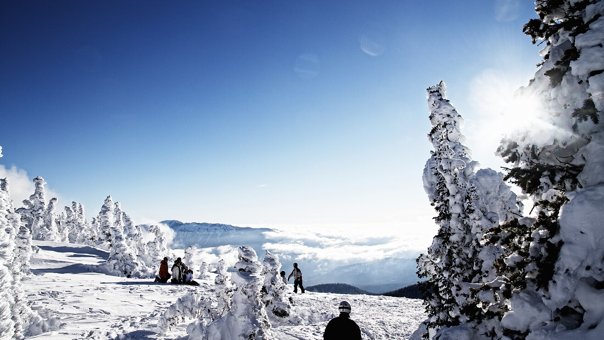
Clouds over the Pagosa valley, seen from the top of Wolf Creek Ski Area in December 2010. Photo: Zach Dischner via Wikimedia Commons, CC BY 2.0
A second storm in ten days reaches southwest Colorado on Sunday 1 November 2026. The National Weather Service forecasts 12 to 18 inches of snow above 10,000 feet in the San Juan Mountains and up to 3 inches of rain below. Pagosa Springs has a mandatory evacuation order, and Wolf Creek Ski Area closed on 1 November, one day after its planned season start.
In short
- NWS Grand Junction warns of 12–18 in of snow above 10,000 ft from Sunday 06:00 to Monday noon.
- On Wolf Creek Pass the NWS in Pueblo forecasts 8–14 in, with gusts to 50 mph.
- A flood watch covers southwest Colorado: 1–3 in of rain on soils still wet from the October floods.
- The San Juan River at Pagosa Springs may crest at 17.0 ft early Monday; the record is 17.8 ft from 1911.
- Wolf Creek set its season start for Saturday 31 October; it is closed from Sunday 1 November until the evacuation order ends.
What the forecasts say
The Grand Junction office of the National Weather Service (NWS) upgraded its watch to a Winter Storm Warning on Saturday 31 October at 10:37 MDT. It covers the northwest and southwest San Juans, with Telluride, Silverton, Ouray, Rico and Hesperus. "Travel could be very difficult to impossible," the warning says.
The NWS office in Pueblo covers the eastern San Juans, with Wolf Creek Pass and Cumbres Pass. All figures in the table are forecasts, issued before the storm started.
| Area, above 10,000 ft | Snow forecast | Wind gusts | Valid (local time) |
|---|---|---|---|
| NW and SW San Juans (Telluride, Silverton) | 12–18 in | 45 mph | Sun 1 Nov 06:00 – Mon 2 Nov 12:00 |
| Eastern San Juans (Wolf Creek Pass) | 8–14 in | 50 mph | Sun 1 Nov 17:00 – Mon 2 Nov 11:00 |
| Elk and Gore ranges, West Elks (Aspen, Vail, Crested Butte) | 5–10 in | 35 mph | Sun 1 Nov 12:00 – Mon 2 Nov 18:00 |
The snow line starts above 10,000 ft and falls from Sunday afternoon. Snow can reach about 8,000 ft by Monday morning, KKCO 11 News in Grand Junction and the Colorado Sun reported. The ski weather site SnowBrains forecasts 13–18 in for Wolf Creek and 10–14 in for Telluride from 31 October to 3 November.
Rain on wet ground
Below the snow line, the storm brings rain. The NWS flood watch runs from Sunday 05:00 to Monday morning, for an area from the San Juans to Cortez, Durango and Pagosa Springs. The forecast is 1 to 3 inches of rain on soils that are still saturated. In its forecast discussion, the Grand Junction office expects 3 to 4 inches of liquid in the San Juans.
The ground is wet from the storm of 22 to 25 October. Rain reached 7 inches in areas like Pagosa Springs then, the Colorado Department of Transportation wrote to the federal highway agency on 27 October. "We could easily get a foot of snow at the Wolf Creek ski area," Eric Petersen of the NWS in Pueblo told The Colorado Sun.
| River gauge | Stage, Saturday 31 October | Forecast crest | Record |
|---|---|---|---|
| San Juan River at Pagosa Springs | 6.6 ft (17:00 MDT) | 17.0 ft, early Monday | 17.8 ft, 5 October 1911 |
| La Plata River at Hesperus | 4.1 ft (09:30 MDT) | 5.8 ft, late Sunday | 5.8 ft, 21 May 2005 |
The Town of Pagosa Springs issued a mandatory evacuation order on 31 October for flood-prone areas along the river.
Wolf Creek closes after its start
Wolf Creek announced its season start for Saturday 31 October 2026, with about 30 % of the mountain on three lifts. The area had 20 in of snow in the storm of 23–24 October, the Durango Herald reported.
On 1 November the operator changed its plan. "Wolf Creek Ski Area will be closed from Sunday, November 1st until the mandatory evacuation order in Archuleta County is lifted," its website says. The operator calls this a precaution on the advice of local and state authorities.
| Ski area | Status on Sunday 1 November 2026 |
|---|---|
| Wolf Creek | season start set for Saturday 31 October; closed from Sunday 1 November |
| Purgatory | opening scheduled for Friday 20 November |
| Telluride | target opening Thursday 26 November |
| Silverton Mountain | opens Thursday 31 December, guided skiing only |
| Arapahoe Basin | open since Wednesday 28 October |
Roads after the October floods
The October storm damaged the region's mountain roads. US 550 north of Silverton, near the Ophir Pass turnoff, lost part of its shoulder and travel lane on 22 October, CDOT reported. It reopened on the evening of 23 October with one lane and a traffic light.
US 160 over Wolf Creek Pass reopened on Tuesday 27 October with single-lane traffic at several places. CDOT puts the October road damage at about $65 million. In its forecast discussion, the NWS warns of a sloppy Monday morning commute on US 550, US 50 and over Vail Pass.
Before you drive to the snow
Safety comes first: check road status at CDOT and the avalanche advisory before you travel. The Colorado Avalanche Information Center has a special avalanche advisory for the San Juans and La Plata Mountains until Monday 2 November.
When the ski areas open again, early-season snow after a storm like this is often heavy and wet on a thin base. A mid-width all-mountain ski copes better than a narrow piste ski. On the makers' figures, the Nordica Enforcer 100 has a 100 mm waist and the Blizzard Rustler 9 96 mm. Compare them, or let Pick-a-Ski rank the catalog for your level and terrain.