81 % odds of a very strong El Niño: NOAA's winter outlook for US ski resorts
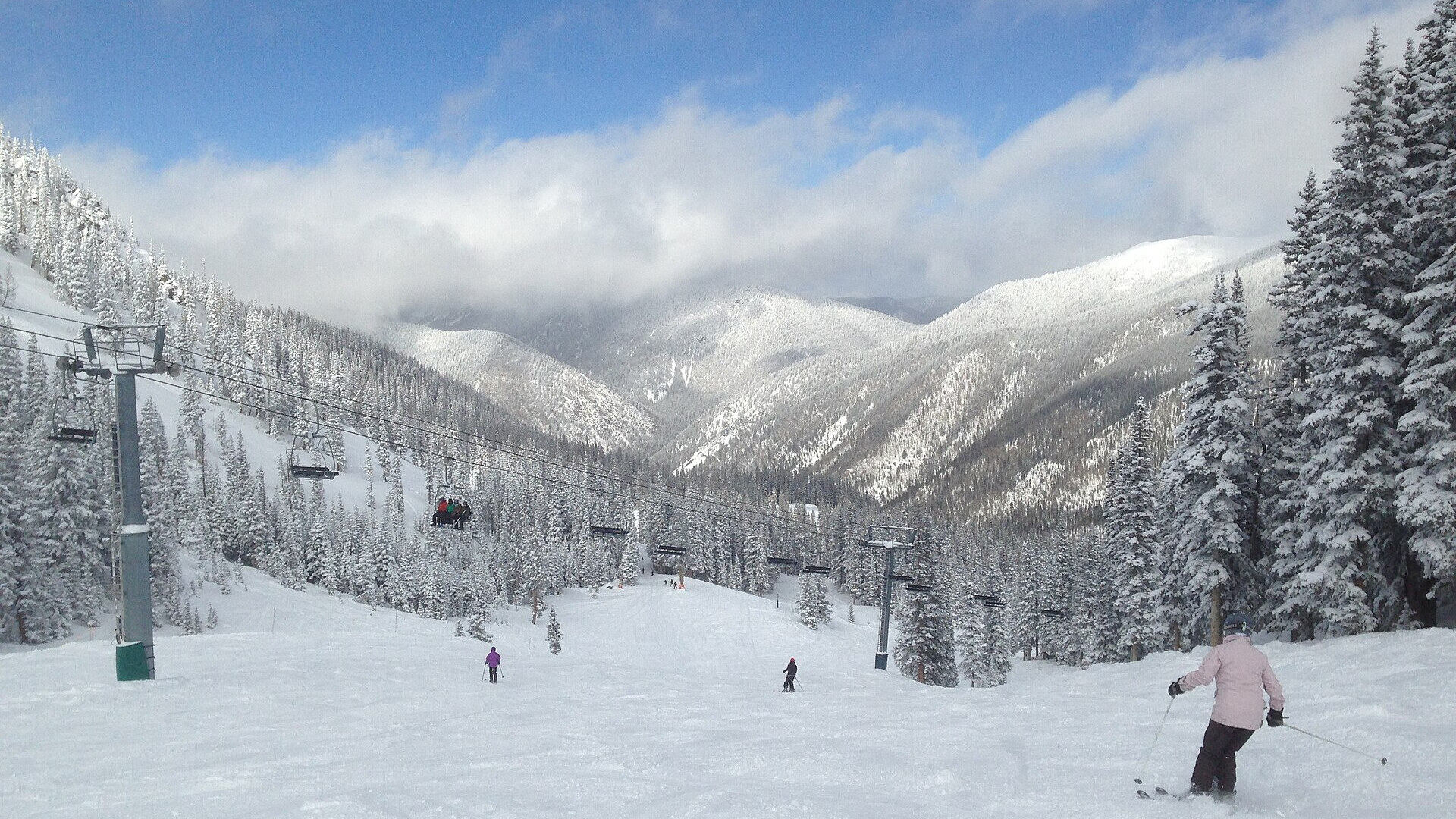
Skiers below the chairlift at Taos Ski Valley, New Mexico. Photo: Paul Sableman via Wikimedia Commons, CC BY 2.0
NOAA gives an 81 % chance that El Niño reaches +2.0 °C or more this December to February, a very strong event. Its winter outlook of Thursday 15 October 2026 tilts the odds to a wetter South and a warmer, drier North. For skiers, that points to the Sierra and the Southwest, and away from Montana and the Pacific Northwest.
In short
- NOAA's Climate Prediction Center gives 81 % odds of a +2.0 °C or stronger El Niño for December to February.
- A record event above +2.5 °C has an 83 % chance for October to December, according to the 8 October ENSO discussion.
- The outlook favours more precipitation from California to New Mexico, and less in Montana and around the Great Lakes.
- NOAA makes no snowfall forecast, because snow cannot be predicted more than about a week ahead.
- The next outlook comes on Thursday 19 November 2026.
What NOAA published
The US Winter Outlook covers December 2026 to February 2027. NOAA's release expects warmer-than-average temperatures across the northern US and wetter conditions from California to Florida and along the East Coast.
"A very strong El Nino will likely bring a southward and eastward shift to the jet stream for the contiguous U.S., which tilts the odds toward stormier weather across the South," said Ken Graham, director of the National Weather Service.
The outlook gives probabilities, not amounts. A "40–50 %" area has that chance of a winter in the wettest third of the 1991–2020 record. White areas on the map mean equal chances.

NOAA precipitation outlook, December 2026 to February 2027, issued 15 October 2026. Map: NOAA Climate Prediction Center, public domain
How strong this El Niño is
In its ENSO discussion of 8 October 2026, the Climate Prediction Center kept its El Niño Advisory. The Niño-3.4 sea-surface temperature was +2.1 °C above normal in September.
| Season | +2.0 °C or more | +1.5 to 2.0 °C | +1.0 to 1.5 °C |
|---|---|---|---|
| Nov–Jan | 96 % | 4 % | 0 % |
| Dec–Feb | 81 % | 16 % | 3 % |
| Jan–Mar | 46 % | 37 % | 15 % |
All values come from the CPC strength table of October 2026. The CPC adds a warning: the strength of El Niño "does not necessarily correspond with the strength of the influence or expected impact".
The outlook, region by region
| Ski region | Precipitation, Dec–Feb | Temperature, Dec–Feb |
|---|---|---|
| California, Sierra Nevada | 40–50 % wetter; south 50–60 % | north leans warmer |
| New Mexico, Arizona | 40–50 % wetter | equal chances |
| Southern Utah, southern Colorado | 33–40 % wetter | equal chances |
| Wasatch, northern Colorado | equal chances | equal chances |
| Montana, Idaho panhandle | 40–50 % drier at the core | leans warmer |
| Washington | equal chances | 50–60 % warmer |
| Northern New England | equal chances inland | 50–60 % warmer |
| Michigan, northern Wisconsin | 33–40 % drier | 50–60 % warmer |
We read the probability bands from NOAA's two outlook maps. The Sierra crest lies on a temperature boundary, so we give no number there.
What past strong El Niños did
The resorts' own records show how mixed strong El Niño winters were. Mammoth Mountain recorded 546.3 inches in 1982-83, 451.4 in 1997-98 and 362.2 in 2015-16. Mt. Baker in Washington had 657, 648 and 622 inches in the same three winters.
NOAA's own Climate.gov analysis of 1959–2023 found a stripe of more snow over the southern half of the US. "El Niño appears to be the great snowfall suppressor over most of North America," the authors wrote.
The 2015-16 winter is the warning case. The jet stream moved farther north than expected and left Southern California and the Four Corners with less snow, AccuWeather's Paul Pastelok told Outside.
What forecasters say for resorts
Private forecasters go further than NOAA. SnowBrains has its "strongest positive lean" for California's high Sierra, then southern Utah and southern Colorado. Weather to Ski names Arizona Snowbowl, Ski Apache, Brian Head and Mt Baldy, and sees "no clear indication" for Vail, Breckenridge, Alta and Snowbird.
In the same Outside interview, AccuWeather expects above-average snowfall in parts of the Wasatch and the Central Rockies, where NOAA's map shows equal chances. PeakRankings reminds readers that preseason forecasts in 2015, 2022 and 2025 were "spectacular failures".
What this means for your skis
If the southern storm track delivers, the Sierra, Taos and Arizona get more storm days than usual. Those days reward a 100–108 mm ski with float. If the northern Rockies and the Northwest stay drier, firm groomers and old snow are more likely there, and a 90–100 mm all-mountain ski covers more of the season.
Compare the Nordica Enforcer 100, the Blizzard Rustler 10 and the Völkl Mantra 102 on the makers' figures. Pick-a-Ski ranks the catalog for your level, your terrain and the snow you expect.