Snow to 800 m on Friday 13 November: a cold front ends the mild Alpine autumn
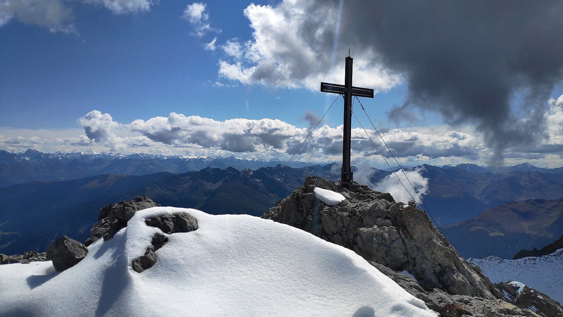
First snow at the summit cross of the Parseierspitze in Tyrol, September 2021, not a photo of this front. Photo: Simon Höger via Wikimedia Commons, CC BY 4.0
A cold front crosses the northern Alps in the night to Friday 13 November 2026. The snow line drops from about 2,300 m on Thursday to 800–1,000 m on Friday morning, and locally to 600 m. Föhn days of up to 16 °C end, and it gets cold at altitude just as Davos and Andermatt start their season.
In short
- The snow line falls from about 2,300–2,700 m on Thursday 12 November to 800–1,000 m on Friday morning.
- GeoSphere Austria expects 800 to 600 m in Upper Austria; south of the main ridge it stays at 1,300–2,200 m.
- New-snow amounts are small: 1–5 cm above 800 m in the Bavarian Alps, according to the DWD.
- At 2,000 m the temperature drops from up to +7 °C on Thursday to about −5 °C on Friday.
- Davos Parsenn opens on 13 November and the Gemsstock in Andermatt on 14 November; Sölden adds lifts.
Föhn first, then the front
On Thursday 12 November a low over southern France steers mild air into the Alps. MeteoSwiss names the low "Charles". South föhn blows along and north of the main ridge. MeteoSwiss expects up to 14 °C in Swiss Alpine valleys, and in the Tauern GeoSphere Austria forecasts föhn gusts of 60 to 80 km/h.
Precipitation starts from the south-west on Thursday. On Thursday it snows only high up: from about 2,300 m in Switzerland and Austria, from about 2,400 m in South Tyrol and from about 2,500 m in Trentino, according to the official services. Below that it rains.
In the night to Friday the cold front arrives from the west. "In der Nacht auf Freitag besonders am Alpennordhang teils kräftiger Niederschlag," writes MeteoSwiss, with the snow line falling towards 800 to 1,200 m.
Snow line by region on Friday
The weather services do not agree on one number, because the front hits the north side much harder than the south. All values are forecasts issued on Wednesday 11 November 2026.
| Region | Snow line, night to Friday and Friday morning | Source |
|---|---|---|
| Upper Austria, Salzkammergut | 800–600 m | GeoSphere Austria, ORF |
| Salzburg | 1,000–700 m | GeoSphere Austria |
| North and East Tyrol | 1,000–800 m | GeoSphere Austria |
| Vorarlberg | down to about 800 m | GeoSphere Austria |
| Bavarian Alps | about 800 m, partly into the valleys | DWD |
| Northern Switzerland | 800–1,000 m | MeteoSwiss |
| Romandy and Valais | 800–1,000 m | MeteoSwiss |
| Swiss south side, Engadin | about 1,400 m | MeteoSwiss |
| South Tyrol | about 1,300 m | South Tyrol weather service |
| Trentino | above about 2,200 m | Meteotrentino |
The ORF weather desk sums up the range. "Bei der Schneefallgrenze gibt es große Unterschiede: sie liegt zwischen 600m im Salzkammergut und um die 2000m Höhe in den Südalpen," it writes on wetter.ORF.at.
How much new snow?
Not much. The DWD expects 1 to 5 cm above 800 m in the Bavarian Alps in the second half of the night, and a little more where the clouds pile up against the mountains. MeteoSwiss expects 5 to 15 cm above 2,700 m in Romandy and Valais on Thursday, and locally 1 to 4 cm above 1,300 m on Friday.
The ECMWF model figures that SnowBrains published on 10 November are higher, above all on the high terrain of the south-west:
| Resort | Model total, 11–13 November |
|---|---|
| Cervinia | 17–24 cm |
| Samnaun | 7–10 cm |
| Sölden | 6–9 cm |
| St. Moritz | 5–8 cm |
| Zermatt | 5–7 cm |
| Kitzbühel | 3–5 cm |
Some Austrian news sites write of 20 to 30 cm. We found no weather service that forecasts such amounts for the front, so we leave those figures out.
Cold at altitude, then a sunny weekend
The real change is the temperature. At 2,000 m it is up to +7 °C on Thursday in the Bavarian Alps. On Friday GeoSphere Austria expects −6 °C at 2,000 m and −10 °C at 3,000 m in Tyrol and Vorarlberg, with a strong north wind in the Hohe Tauern. MeteoSwiss gives about −5 °C at 2,000 m for northern Switzerland.
Saturday 14 November is sunny and cold in most of the Alps. On Sunday the föhn returns in Austria and temperatures rise again. MeteoSwiss expects the next precipitation on Sunday evening in the west and on Monday 16 November in the north, with a snow line around 1,700–1,800 m.
Who opens from 12 to 19 November
The cold nights help the snowmaking teams. These areas start or grow in the same days, according to their own websites:
| Ski area | Date | What opens |
|---|---|---|
| Sölden | from Thursday 12 November | more lifts on Gaislachkogl and Giggijoch; open since 6 November |
| Davos Parsenn | Friday 13 to Sunday 15 November | weekend operation, "as planned" |
| Andermatt Gemsstock | Saturday 14 November | start of the winter season |
| Obergurgl-Hochgurgl | Thursday 19 November | season start |
What this means for your skis
A few centimetres of new snow over a hard, man-made base is typical for mid-November. The first runs are on narrow, groomed pistes, and stones can sit just under the surface. A narrow piste ski with a short radius turns fast and holds on hard snow. Take your older pair or a rock ski for off-piste spots.
| Ski | Waist | Radius (length) |
|---|---|---|
| Blizzard Thunderbird R15 Plus | 70 mm | 15 m (175 cm) |
| Stöckli Laser MX | 71 mm | 13.2 m (158 cm) |
| Stöckli Montero AR Pro | 84 mm | 15.2 m (170 cm) |
The figures are the makers' own. To compare more piste and all-mountain skis by your level, use the Pick-a-Ski ski finder.