French Alps: avalanche alert in 6 départements before Tignes opens 21 November
Published
Questions or corrections? Contact Remco Mensinck·How we make our news
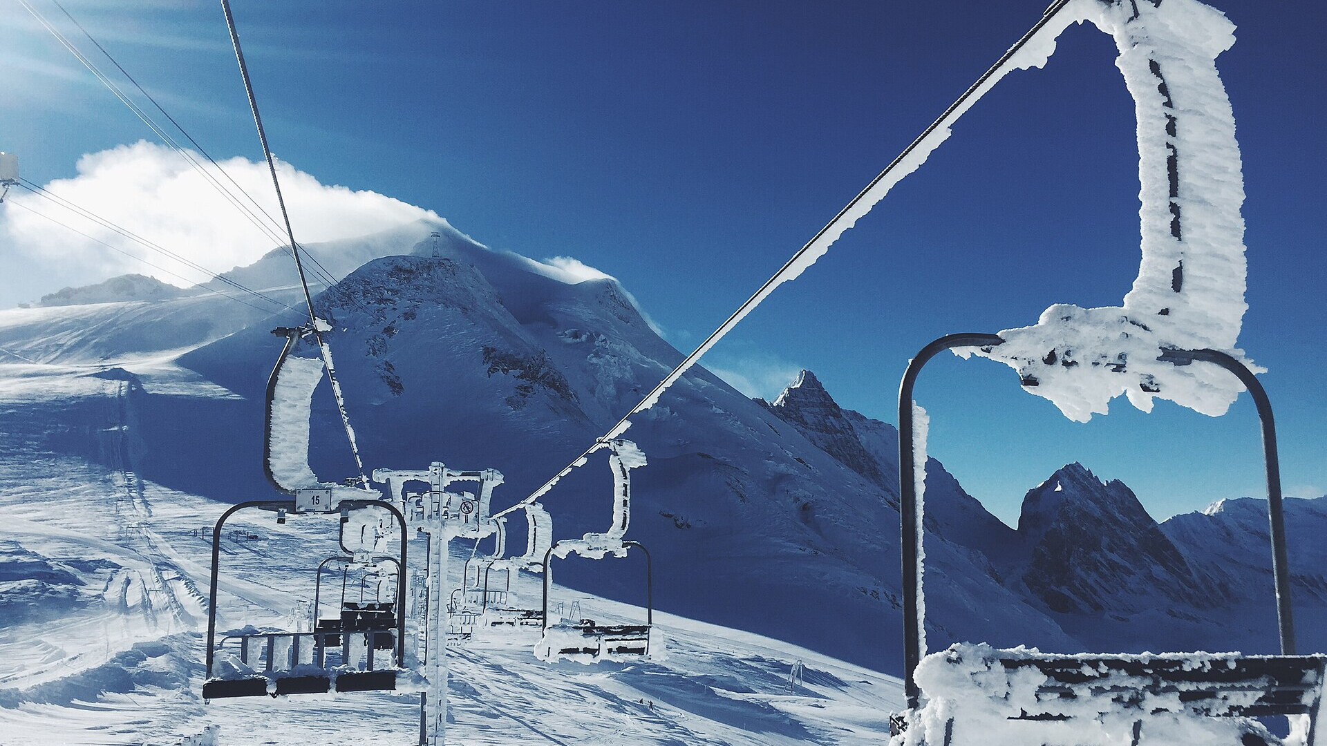
A snow-covered chairlift in Tignes, 25 January 2016. Photo: Rob Bye via Wikimedia Commons, CC0
Six départements in the French Alps are on yellow avalanche alert on Wednesday 18 November 2026. A storm brings rain up to about 2,500 m first and then heavy snow, with forecasts of more than 1 m above 2,500 m by Saturday. Tignes, Val Thorens and Orelle still plan to open on Saturday 21 November.
In short
- Météo-France yellow avalanche alert on 18 November: Alpes-de-Haute-Provence, Alpes-Maritimes, Hautes-Alpes, Isère, Savoie and Haute-Savoie.
- On 17 November the rain-snow line rose to 2,500–2,700 m in much of the Alps.
- Forecasts give up to 150 cm since Tuesday at about 2,000 m around Chamonix, to be confirmed.
- In Switzerland, the SLF expects avalanche danger level 4 (high) in western Valais.
- Val Thorens has confirmed its opening weekend of 21 and 22 November.
The avalanche alert
On Tuesday 17 November, five départements were on yellow avalanche alert, franceinfo reported with Météo-France. "Des départs spontanés d'avalanche sont possibles localement," the alert says: natural avalanches are possible in places.
On the map of Wednesday 18 November at 06:00, Alpes-Maritimes joined the list. The alert stays yellow; no département is orange as of that map.
| Département | Alert on 18 November |
|---|---|
| Haute-Savoie (74) | yellow |
| Savoie (73) | yellow |
| Isère (38) | yellow |
| Hautes-Alpes (05) | yellow |
| Alpes-de-Haute-Provence (04) | yellow |
| Alpes-Maritimes (06) | yellow, new on 18 November |
Météo-France publishes a new map every morning. The Chamonix forecaster chamonix-meteo gives the avalanche risk as marked, level 3 out of 5, above 2,700 m.
Rain first, then snow
The storm started warm. On Tuesday morning, the rain-snow line rose to 2,500–2,700 m in a large part of the Alps and locally to 3,000 m in Isère, according to Skipass. In Switzerland, the SLF avalanche service writes that rain soaked the snowpack locally up to 3,000 m.
Now the snow line drops day by day. The local forecaster chamonix-meteo expects heavy precipitation on Thursday 19 November with a rain-snow line near 1,500 m. Its bulletin of 17 November gives a "bilan neigeux susceptible d'atteindre 150 cm depuis mardi, vers 2000 m (à confirmer)": up to 150 cm of snow since Tuesday at about 2,000 m, still to be confirmed.
| Forecast to Saturday 21 November | Snow | Source |
|---|---|---|
| About 2,000 m, Chamonix valley | up to 150 cm since Tuesday, to be confirmed | chamonix-meteo |
| About 2,100 m | 40 to 60 cm on the ground in most areas, up to 70 cm in Haute-Savoie | Skipass |
| About 2,600 m | 80 cm to 1 m on the ground, up to 1.5 m from north Savoie to east Haute-Savoie | Skipass |
| Above 2,500 m, northern French Alps | more than 1 m since Tuesday | Météo-Alpes |
These are forecasts, not totals. The French services had published no snow totals in centimetres as of the morning of 18 November.
What has already fallen
The first numbers come from the Italian side of Mont Blanc. The snow gauge of the Valle d'Aosta region at Morgex–Lavancher, 2,842 m, rose from 81 cm at 08:00 on 17 November to 103 cm at 07:00 on 18 November. Lower down, at Courmayeur–Pré-de-Bard, 2,040 m, the depth went from 41 to 48 cm.
The SLF expects the danger to rise further in western Valais, next to Chamonix. "As a consequence of new snow and strong wind there will be an additional increase in the avalanche danger to level 4 (high)," its bulletin of 17 November says.
Openings on Saturday 21 November
Three French resorts plan to open on Saturday 21 November 2026: Tignes, Val Thorens and Orelle. On its website, Val Thorens calls its opening weekend of 21 and 22 November "officiellement confirmé". The resort will publish the list of open runs and lifts later. Tignes gives a season from 21 November 2026 to 2 May 2027.
Météo-Alpes expects the weather to clear on Saturday afternoon, with a new storm on Sunday 22 November. Val d'Isère, Les 2 Alpes and Montgenèvre follow on Saturday 28 November.
On the pistes, the patrols control the avalanche risk. Off the pistes, the yellow alert and level 3 above 2,700 m mean that you should stay on marked runs, or go out only with a transceiver, shovel, probe and a person who reads the snowpack.
What this means for your skis
Opening weekends usually have a few runs of groomed snow. This year, the first days at Tignes and Val Thorens may have deep, new snow next to the groomers. A ski with a waist around 104–106 mm floats in fresh snow and still turns on a piste.
We compared three such skis, according to the makers' figures:
- The Salomon QST 106: 106 mm waist, 18 m radius at 173 cm.
- The Nordica Enforcer 104 Free: 104 mm waist, 17.5 m radius at 179 cm.
- The K2 Mindbender 106C: 106 mm waist, 17.3 m radius at 176 cm.
Want to know which width fits the snow you ski most? The Pick-A-Ski finder compares the catalog by your level and your terrain.